 Land on the island
Spalmatore di Terra
On Tavolara
- Reach
- Ferry or tour
- Food
- At the landing
- View
- The Sardinian coast
Guides
Language
EnglishCurrency
US dollar · $Your currency applies on GetYourGuide too.
Guide · Beaches
There are two ways to enjoy a Tavolara beach: land on the island's own strip of sand, or lie on the mainland and look at it. Here are the beaches on both sides of the water and how to reach each one.
Editorial team, tavolaraboattour.comUpdated October 20, 20266-minute read42 sources
Quick answer
The coast around Tavolara alternates rocky headlands with small beaches tucked between them, and the protected area sorts its beaches into two kinds: pocket beaches closed by rocks at both ends, and longer beaches on old sand bars, often with a lagoon behind.8 You will meet both on a boat day and on the mainland.
A beach on the island itself means a boat: there is no bridge, and the landing is reached by ferry or tour. A beach facing the island means a drive or a bus, a towel on the sand and the long grey profile of the island across the water all day. Doing both on different days shows you the island from two sides, and each has its own charm. A morning on the boat and an afternoon on a mainland beach is also an easy combination, since this site's tour from Olbia is back at the marina at 1:30 PM.
Whichever you choose, the water is part of the Tavolara Marine Protected Area, about 15,000 hectares of sea that runs along this coast.9 Keep to the reserve's simple rules: take your rubbish home, leave shells, stones and plants where they are, and never anchor a boat over seagrass.10
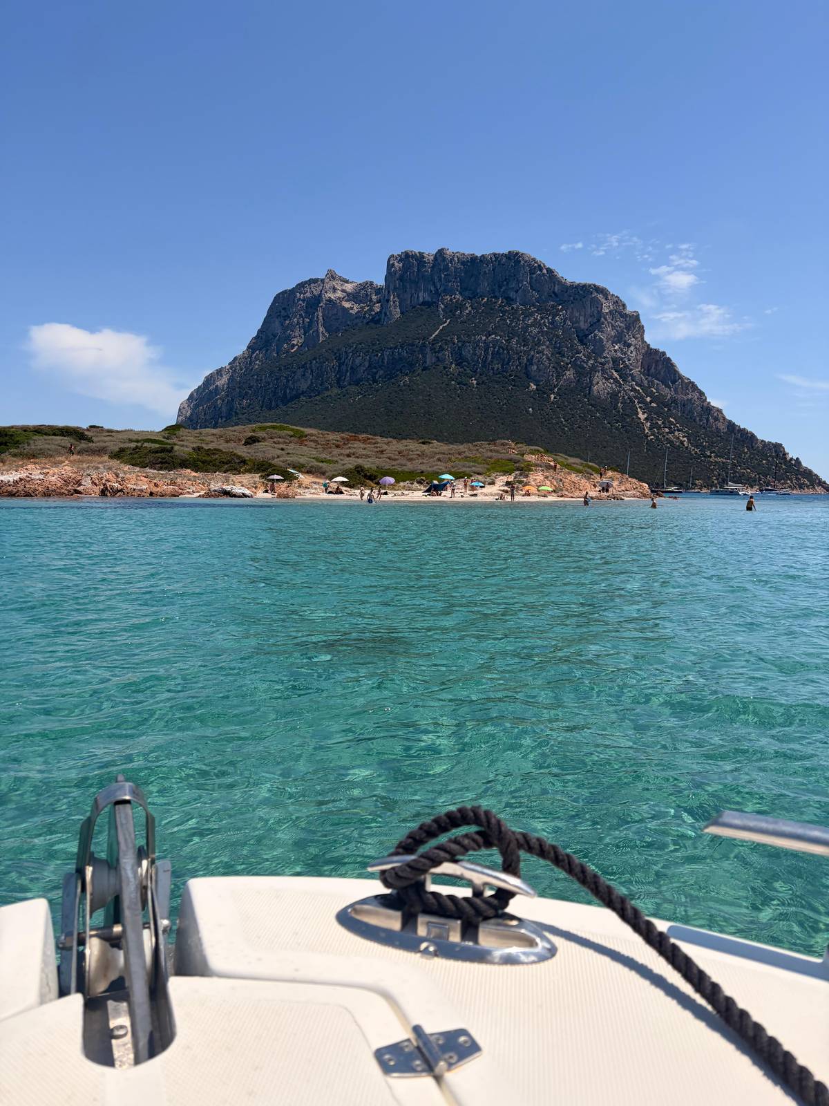
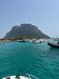
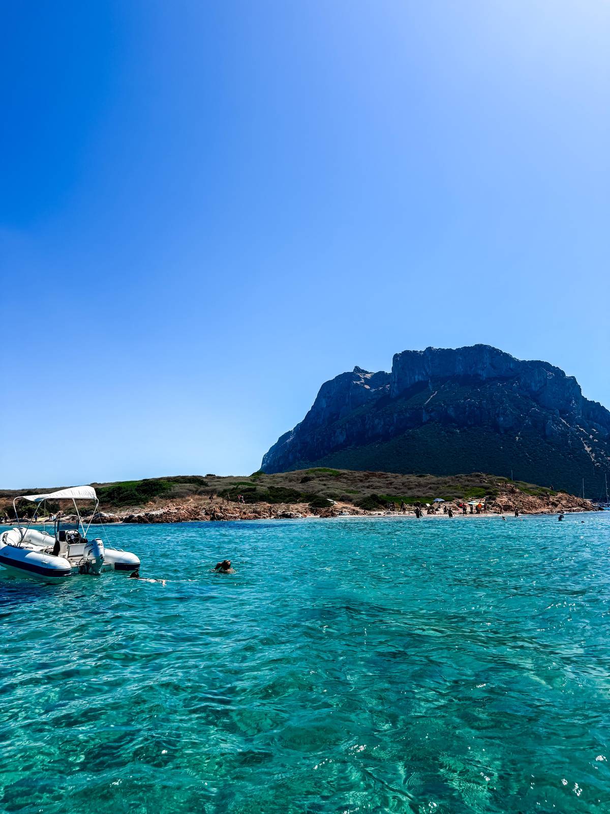
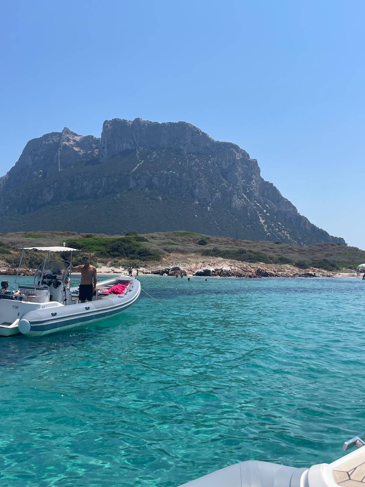
The island's own sand is at the Spalmatore di Terra beach, where boats land. The regional tourism board describes a little port, places to eat, a small group of houses and small beaches fringed with sea daffodils.1 The beach faces the Sardinian coast, so the view from your towel is of the mainland and its hills.11
This low point is also where Tavolara's geology shows. A sandy strip called the Passetto joins the last part of the Spalmatore to the main mass of the island.12 It is one of only two places in the reserve where the rare Centaurea horrida grows, so stay on the paths behind the sand.13
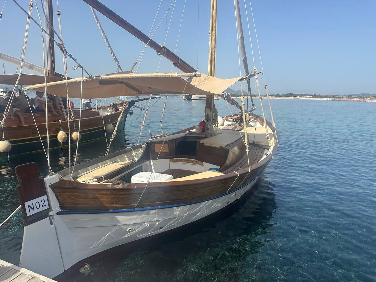
You reach it on the shuttle from Porto San Paolo, which runs daily without a booking and leaves at 09:30, 10:30, 11:30, 12:30 and 13:30.14 Several tours also land: the docking half day from Olbia gives 1 hour of free time at the island's pier, and the San Teodoro grand tour stops for lunch at Cala Tramontana. If you come on the shuttle, pick your return before you leave Porto San Paolo, because the listed returns are at 13:00, 15:30 and 16:30.14
Side by side
| Beach | Where | How to reach it | Good to know |
|---|---|---|---|
| Spalmatore di Terra | On Tavolara | Ferry or tour | Little port, places to eat |
| Isola dei Cavalli | Off Porto San Paolo | Boat only | Fine, firm sand |
| Porto Istana | Near Olbia | Car or bus | Four beaches in one bay |
| Cala Brandinchi | San Teodoro | Car, booked in summer | Almost opposite the island |
| La Cinta | San Teodoro | On foot from town | Long arch of white dunes |
From SardegnaTurismo, the Comune di San Teodoro and the ferry operator, read 2026-10-20.1241856714
Three beach days
Land on the islandOn Tavolara
 Boat only
Off Porto San Paolo
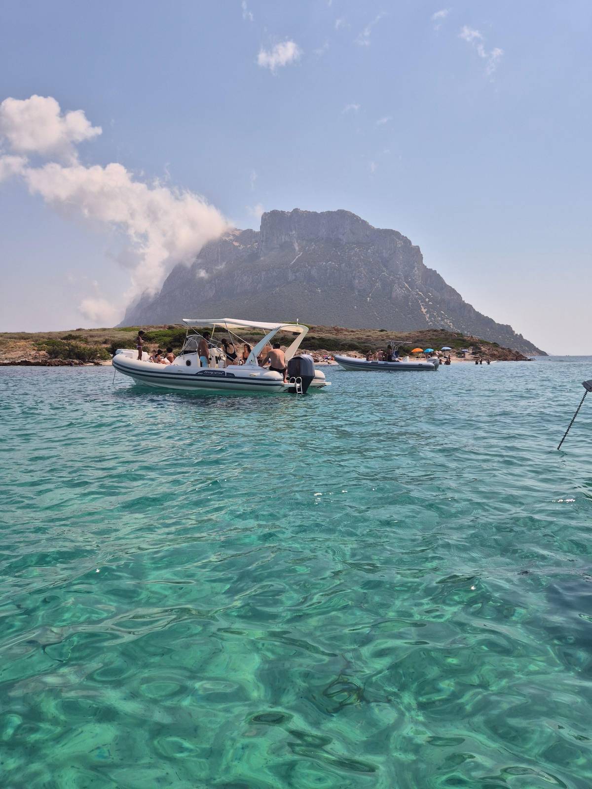 The classic view
Capo Coda Cavallo
The coastal landscape is characterized by an alternation of promontories carved on the rocks of the intrusive basement and small beaches between one promontory and another.
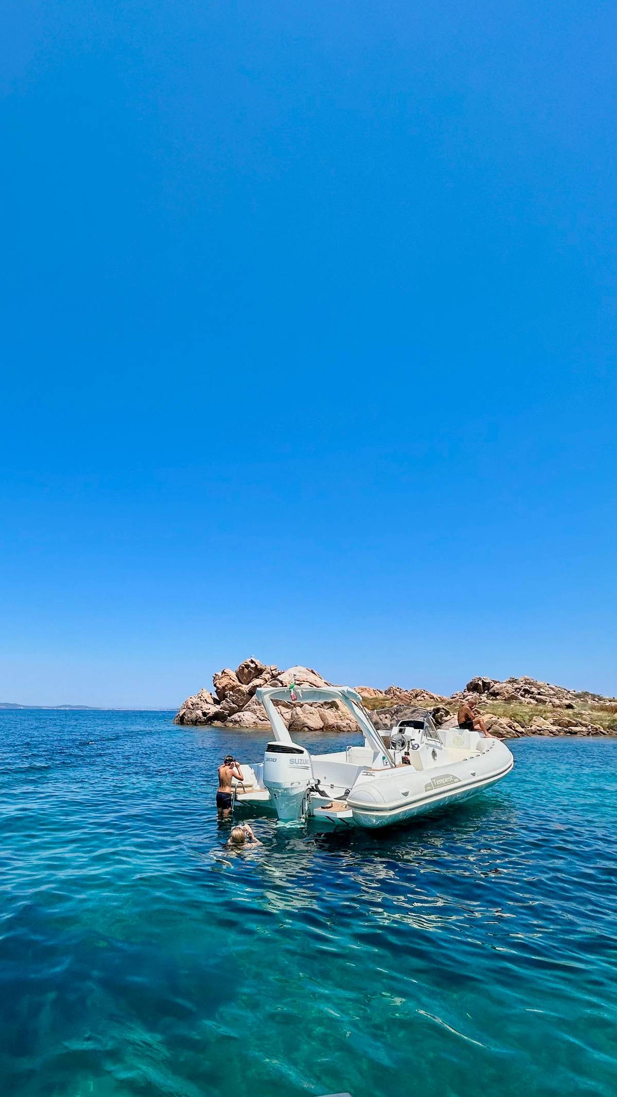
The small islands near Porto San Paolo have beaches of their own. The Isola dei Cavalli has a beach of light, fine, firm sand surrounded by Mediterranean scrub, with crystal-clear shallow water around it.2 Isola Piana, just east of it, has several little beaches of fine greyish sand with hints of pink and ochre.3
On Molara, the regional tourism board suggests a stop at the little Cala Spagnola on the way round the island.20 Molara is uninhabited, and cows and goats live wild on it, so expect a wild shore rather than a beach bar.2122 Bring everything you need for the day, from water to shade, and take it all back with you: plan as if there is nothing to buy on these shores.
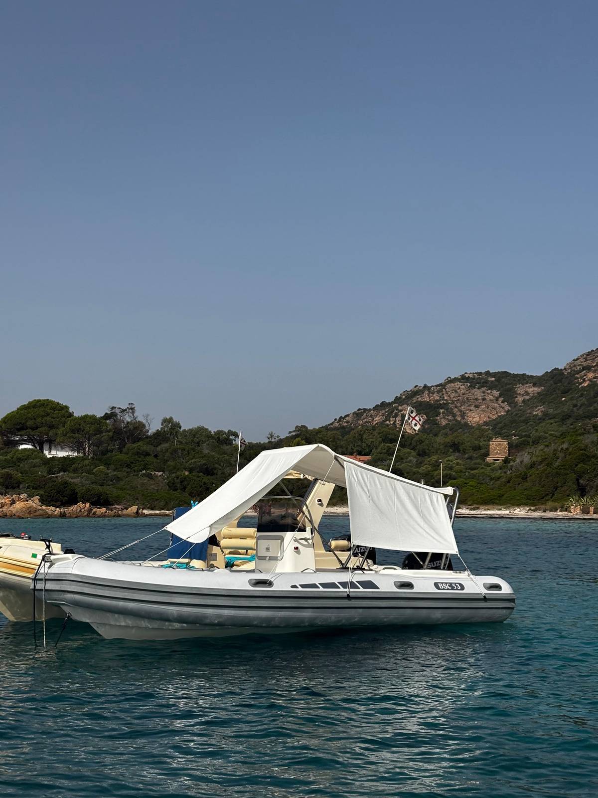
This site's tour includes a swim at Punta Spalmatore and an hour at Spiaggia del Dottore, a small beach on the coast that several boats use as their first stop. The classic boat from Porto San Paolo also ends with a dip at the Isola dei Cavalli.
Map
Where the boats leave from, the islands and their landing places, and the beaches that face them.
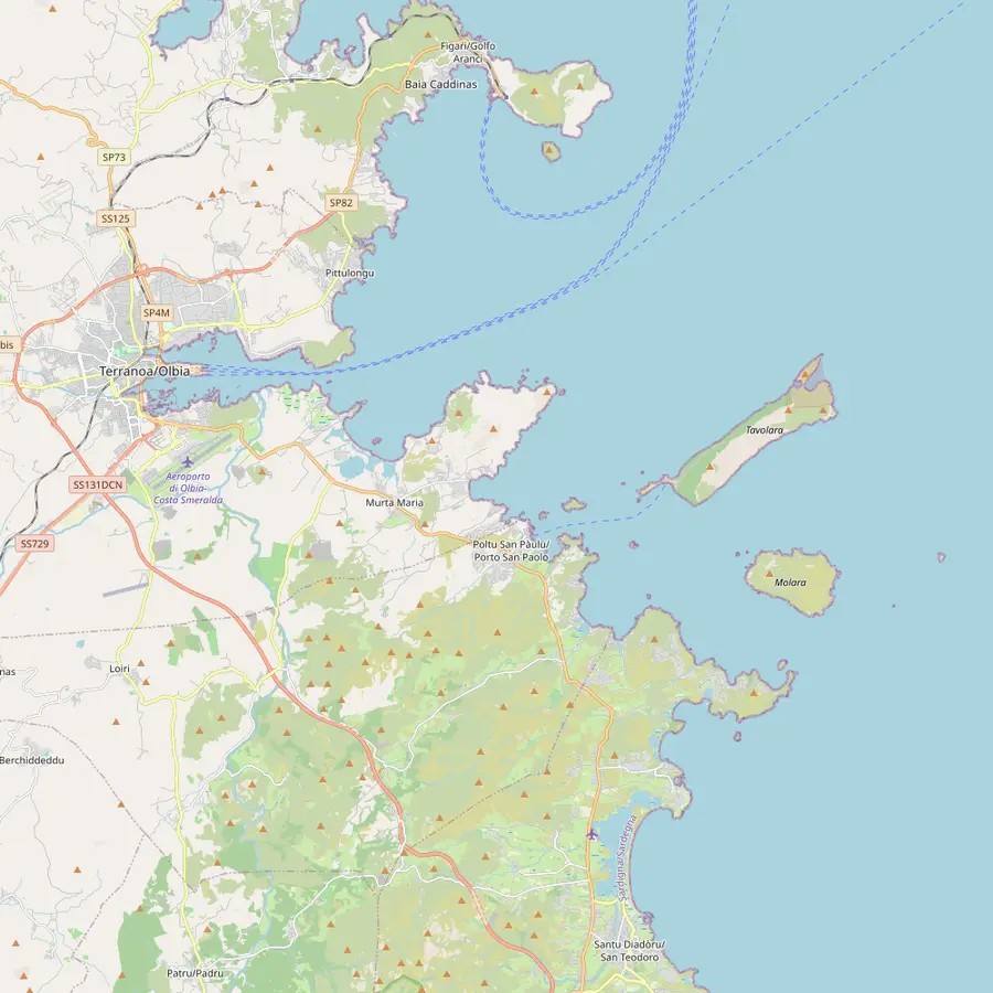 1Olbia marina2Golfo Aranci3Figarolo4Porto San Paolo5Tavolara6Molara7San Teodoro8Capo Ceraso
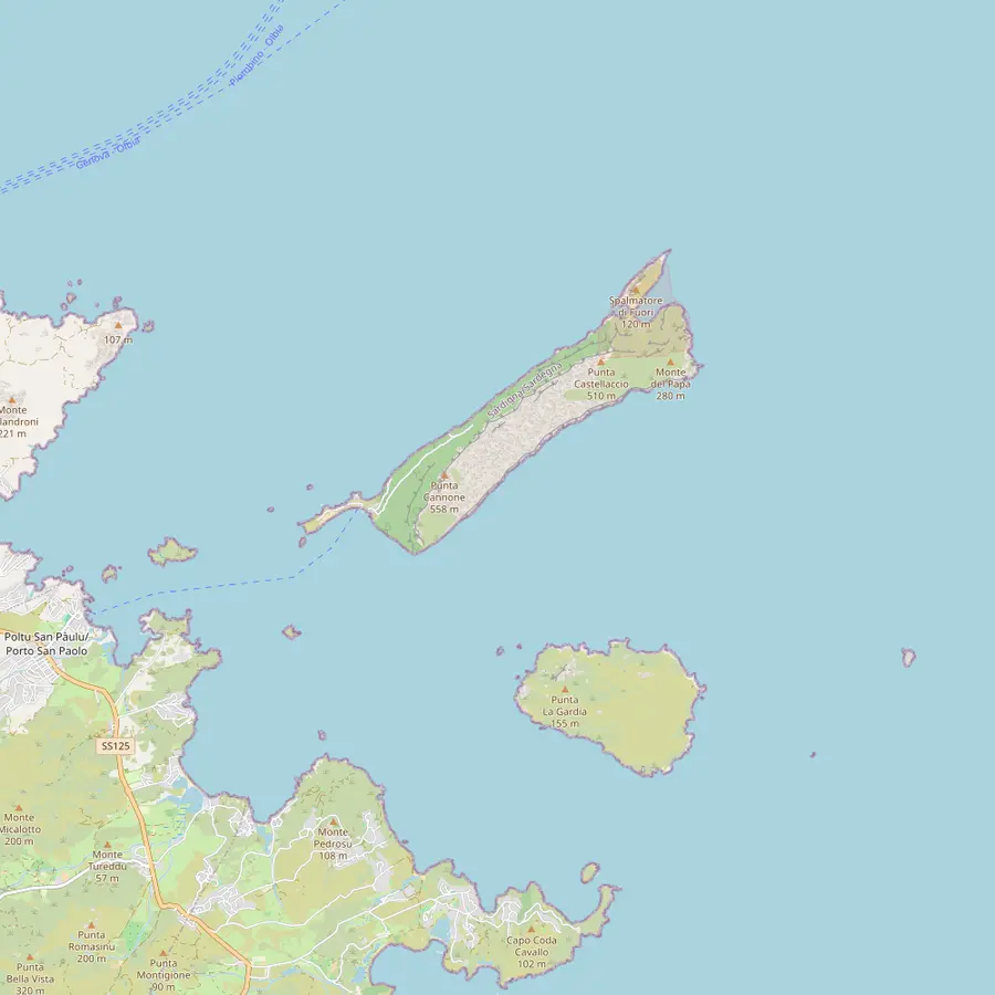 9Spalmatore di Terra10Punta Cannone11Punta Timone12Piscine di Molara13Molarotto14Isola Piana15Isola dei Cavalli
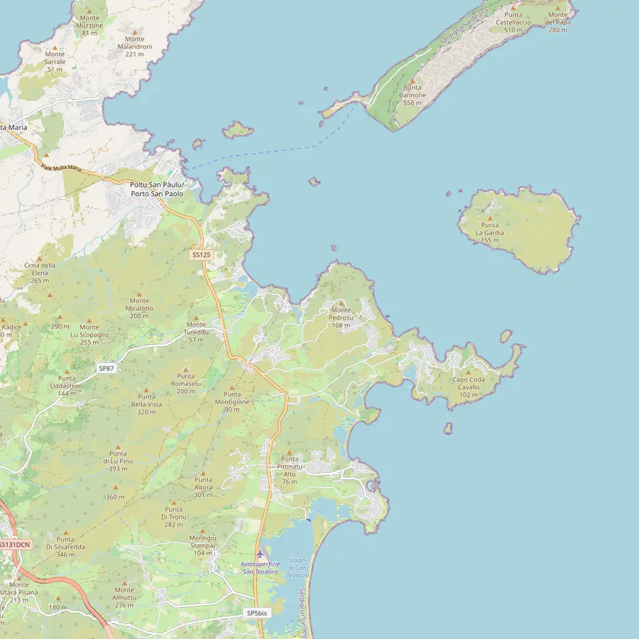 16Spiaggia del Dottore17Porto Istana18Porto Taverna19Cala Girgolu20Cala Brandinchi21Lu Impostu22Capo Coda Cavallo23La Cinta
This site's tour checks in here at Dock A, Berth A44, and several other boats to the islands leave from the same marina.
In Google Maps ↗A port 20 minutes from Olbia, facing Tavolara, where dolphin trips and some island boats start.23
In Google Maps ↗A pyramid-shaped limestone islet off Cala Moresca, where the dolphin trips look for a pod of bottlenose dolphins.24
In Google Maps ↗The village opposite the island: the ferry office is in Via Molara, and wooden boats leave from the floating docks.25
In Google Maps ↗A limestone and granite mountain rising from the sea, 560 m high and 4 km long, in Olbia's territory.2627
In Google Maps ↗The second largest island of the protected area, uninhabited, with its pools on the south-west side.2128
In Google Maps ↗The harbor where the dinghy tours of the archipelago set off each morning.
In Google Maps ↗A headland passed on the way out from Olbia; a disused military road leads to its old fortifications.29
In Google Maps ↗The landing place, with a little port, places to eat, a few houses and the protected area's info point.3031
In Google Maps ↗The summit, reached by a guided trek and a short via ferrata; climbing on the island has been restricted since 2025, so ask the operator first.
In Google Maps ↗Site of the NATO radio station built in 1961; the protected area's map marks a military area with no entry.3233
In Google Maps ↗Clear pools among granite rocks, with an anchoring zone for boats up to 30 m.2834
In Google Maps ↗A small granite rock in the integral reserve, home to a lizard subspecies found nowhere else.35
In Google Maps ↗An island off Porto San Paolo with little beaches of fine greyish sand.3
In Google Maps ↗A small island with a beach of fine, firm sand and shallow water.2
In Google Maps ↗The first swim stop of this site's tour and of several other boats.
In Google Maps ↗A bay of four beaches at the foot of Capo Ceraso, twenty minutes by car from Olbia.4
In Google Maps ↗Dunes with a pond behind them, where water birds can be seen.36
In Google Maps ↗Known for the turtle-shaped rock called La Tartaruga.37
In Google Maps ↗Very light sand and turquoise water almost opposite the island; access is booked from 1 June to 30 September.56
In Google Maps ↗One kilometre of white sand dunes with junipers, the twin of Brandinchi.17
In Google Maps ↗A strip of granite land sheltered by Tavolara, with Molara and the islet of Proratora in front.38
In Google Maps ↗San Teodoro's most famous beach, an arch of fine white sand facing the island.7
In Google Maps ↗Checklist
Video
Nothing loads from YouTube until you press play.
Near Olbia, the bay of Porto Istana sits in the Murta Maria area at the foot of the Capo Ceraso headland, twenty minutes by car from the city, and is made up of four beaches separated by small strips of rock.4 It is an easy choice for anyone staying in Olbia who wants the island in view all day.
Getting there is easy: take the SS125 from Olbia towards Siniscola and turn off after kilometre 307, or catch a bus from the centre of Olbia.18 Arrive early in high summer if you want space near the water, and bring your own shade for the long hours on the sand.
Further south, Porto Taverna has dunes with a pond behind them, where you can watch water birds.36 It is a good place to combine a swim with a walk along the dunes, always on the marked paths that protect the plants holding the sand together. Between Porto Taverna and Brandinchi lies Cala Girgolu, known for the turtle-shaped rock called La Tartaruga, and several boats stop there for a swim among the flat granite slabs.37
Cala Brandinchi, nicknamed Tahiti, lies at Capo Coda Cavallo almost opposite the island, with very light sand and turquoise water much loved by snorkelers.5 The view of Tavolara from Cala Brandinchi is a classic picture of this coast: white sand in front, and the island filling the horizon.
Its twin, Lu Impostu, is a kilometre of white sand dunes dotted with junipers and mimosas.17 Access to both beaches needs a booking from 1 June to 30 September, with at most 6 people per booking for visitors who must pay the fee.639 Book before you drive down, or arrive by boat on a tour that stops there. Brandinchi has a kiosk-bar, sunbed and umbrella hire, pedalos, canoes and paddleboards, coin-operated showers and dinghies for hire to visit the protected area; animals are not allowed.40
Further south again, La Cinta is San Teodoro's most famous beach, an arch of fine white dunes that faces the island across the protected area.7 Back north at Monte Petrosu, near Cala Girgolu, the little Spiaggia delle Vacche is a thirty-metre strip of cream-coloured sand looking out at Tavolara and Molara.15
With children, look at Punta Est on Capo Coda Cavallo: about 600 metres long, with very shallow water, it has held the Green Flag of Italian paediatricians since 2008.1619 With a boat day planned anyway, choose a tour that lands on the island and spend your free time at the Spalmatore. Older children who swim well will love the boat-only beaches, where every stop feels like a small expedition.
For the view, the mainland wins. Porto Istana from Olbia, Brandinchi and La Cinta from San Teodoro and the first of Golfo Aranci's town beaches all look straight across at the island.45741 For the swimming, the small islands and Molara win, because the boat takes you to water that cars never reach.
Go early in high summer, carry shade and water, and remember that the booked beaches near San Teodoro need planning. Sardinia's summer season for beach concessions runs from 1 April to 31 October, so outside those months expect fewer services on the sand.42
Book your seat
Up to 10 guests, gear included, back in Olbia by 1:30 PM.
Yes, at the landing. Spalmatore di Terra has small beaches beside the little port.1
By ferry or tour. The shuttle from Porto San Paolo runs daily without a booking.14
Brandinchi and La Cinta. Both face the island directly across the protected area.57
From 1 June to 30 September. Brandinchi and Lu Impostu need a booking in that period.6
Yes. A bus runs from the centre of Olbia.18
Punta Est. Very shallow water and the paediatricians' Green Flag since 2008.19
Small coves. The regional tourism board suggests a stop at Cala Spagnola.20
Sources